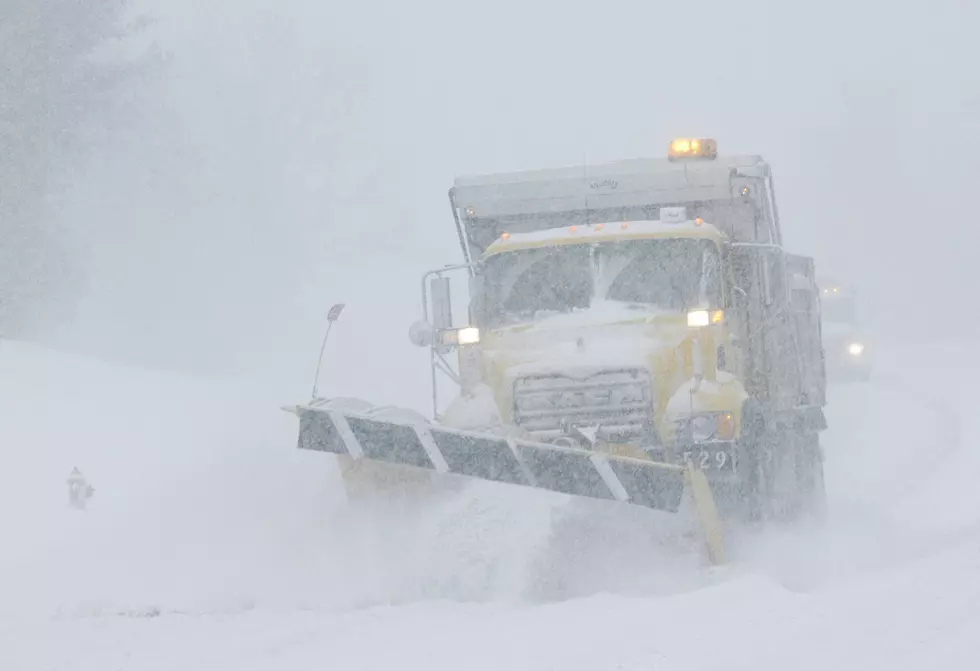
Winter Storm With Lots Of Snow Hits Today
Lets start off with the good news, shall we? Your Tuesday morning commute looks like it will be just fine. Normal in fact! Then, its downhill from there. A major winter storm has its sights on Eastern Iowa and will bring with it lots of snow and even areas of mixed precipitation and ice. That is why a Winter Storm Warning goes into effect at noon today and lasts through noon on Wednesday.
Lets start off with the timing of the storm. Our friends over at CBS2 and the forecast center predict that the snow will start falling after noon today, with the heaviest bands moving into the Cedar Rapids area between 3 p.m. and 6 p.m. The snow will then taper off overnight and end by around 3 a.m. Wednesday morning. This will make for dangerous driving conditions especially later this afternoon and this evening.
So what about snow totals? It doesn't look good. South of I-80 could see lower totals due to some ice possibly mixing with the snow later tonight. But north of Highway 30, including Cedar Rapids, could see up to 10 inches of snow, with higher amounts possible.

After the snow falls, winds will pick up too causing some blowing and drifting especially in rural areas. The bottom line is this is a major winter storm, and we'll feel it's impact will into the day Wednesday. If you don't have to travel later on today, you would be safer not to.
We'll keep you up to date on the latest from our weather partner at CBS2!

Can You ID These Eastern Iowa Locations From Aerial Photos?
More From 98.1 KHAK


![Fireworks & Other 2026 4th of July Events in Eastern Iowa [LIST]](https://townsquare.media/site/726/files/2023/06/attachment-elisha-terada-_b4ppn1Ssgw-unsplash-1.jpg?w=980&q=75)


![Those Viral ‘Soft Serve Margaritas’ Have Made Their Way to Iowa [PHOTOS]](http://townsquare.media/site/675/files/2026/06/attachment-copy-of-copy-of-casey-s-6.jpg?w=980&q=75)
![New Bars & Restaurants That Have Opened in Eastern Iowa in 2026 [GALLERY]](https://townsquare.media/site/675/files/2026/06/attachment-deja.jpg?w=980&q=75)