Severe Weather Possible Across Eastern Iowa This Afternoon
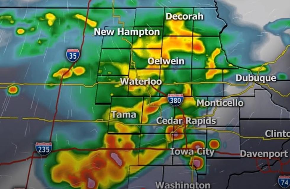
Fast-moving storms are making their way across Iowa today, and they have their sights set on our listening area this afternoon. Above is the Weather Predictor from Iowa's News Now for 1 p.m. today.
Monday morning was an active one across western Iowa with many Severe Thunderstorm Warnings issued. At one time, at least 11 different counties were under a warning at the same time. Areas of the state hard hit by drought conditions have gotten beneficial rainfall, but in many cases the rain has been very heavy, accompanied by extremely strong winds.

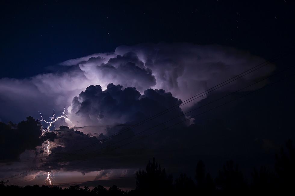
That severe weather threat continues to make its way east with much of the listening area in an enhanced risk for severe weather. The largest threats this afternoon, according to the National Weather Service in Des Moines, are torrential rains, along with damaging wind gusts, isolated tornadoes, and frequent lightning.
The National Weather Service in the Quad Cities has now issued a Severe Thunderstorm Watch until 7 p.m. for the entire listening area.

At approximately 11:15 a.m., tornado sirens were sounded in the Des Moines metro area due to strong straight-line winds. Many warnings continue in that part of the state where a Severe Thunderstorm Watch remains in effect until 2 p.m.
You can see current radar from our news partner, Iowa's News Now, HERE.

KEEP READING: What to do after a tornado strikes
More From 98.1 KHAK


![National Weather Service Confirms 26 Iowa Tornadoes on Wednesday [PHOTOS/VIDEO]](http://townsquare.media/site/675/files/2021/07/attachment-Iowa-tornado-%252540clarencewlsmith-Twitter.jpg?w=980&q=75)
