One of Strongest Storms of the Winter This Weekend
You probably realize by now that I keep a pretty close eye on the weather and what meteorologists are saying about this weekend is pretty amazing. CBS 2 Chief Meteorologist Terry Swails says "all eyes in the weather world will be on an intense cyclone that is expected to develop and cross the central Midwest." What is it going to bring to where you live in Iowa? That's still a great question.
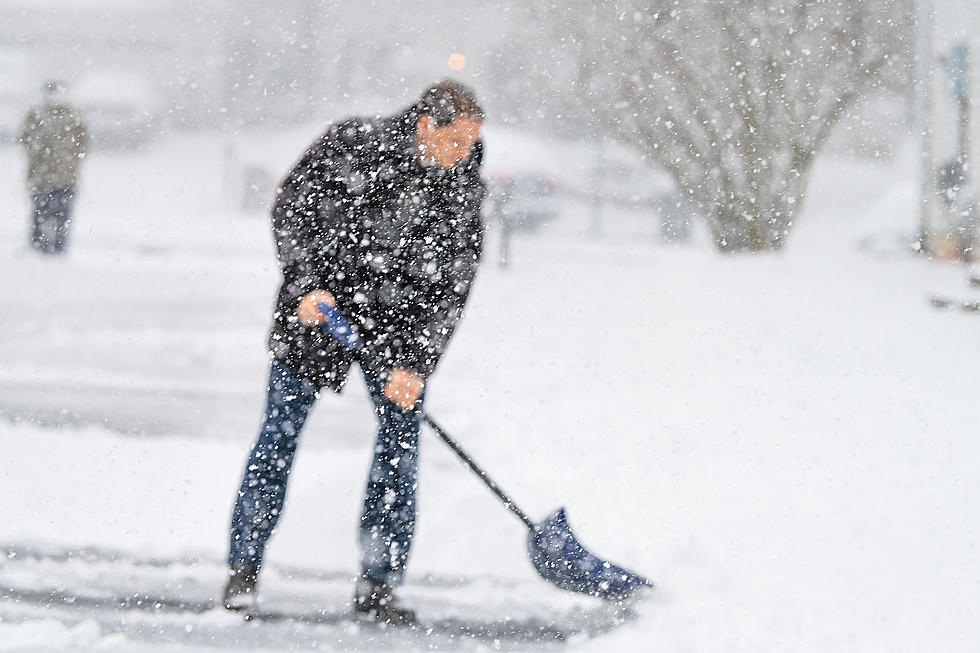
Here in Cedar Rapids, the expectation right now is for a mixture of precipitation Friday night, changing to rain Saturday as highs climb into the mid to upper-30's, and then snow Saturday night. I've heard two different Cedar Rapids meteorologists say we could see thunderstorms and even hail Saturday afternoon. On February 23. That's crazy but sheds light on the power of this system.
So how much snow is coming THIS TIME? A couple of inches of snow is the current forecast for Cedar Rapids. However, the Saturday night snow could be accompanied by wind gusts of at least 50 miles per hour.

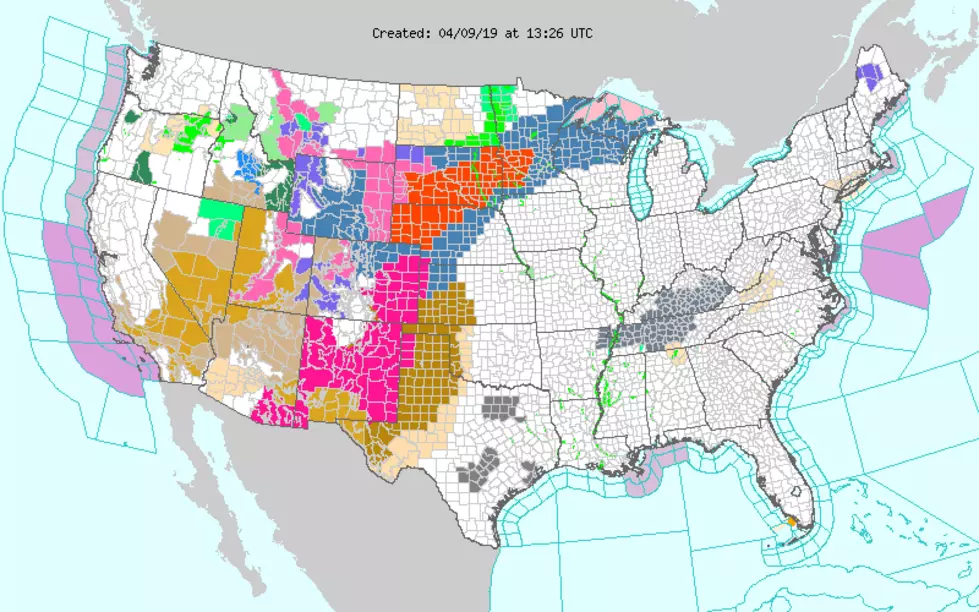
If the track of the storm shifts just a few miles south and brings colder weather into the Cedar Rapids/Iowa City corridor we could be in for another very white weekend. The graphic below is what KIMT in Mason City is currently expecting. Notice Waterloo is included in the area that could see high snowfall totals... part of a huge swath of the Hawkeye state that could see a lot of snow.
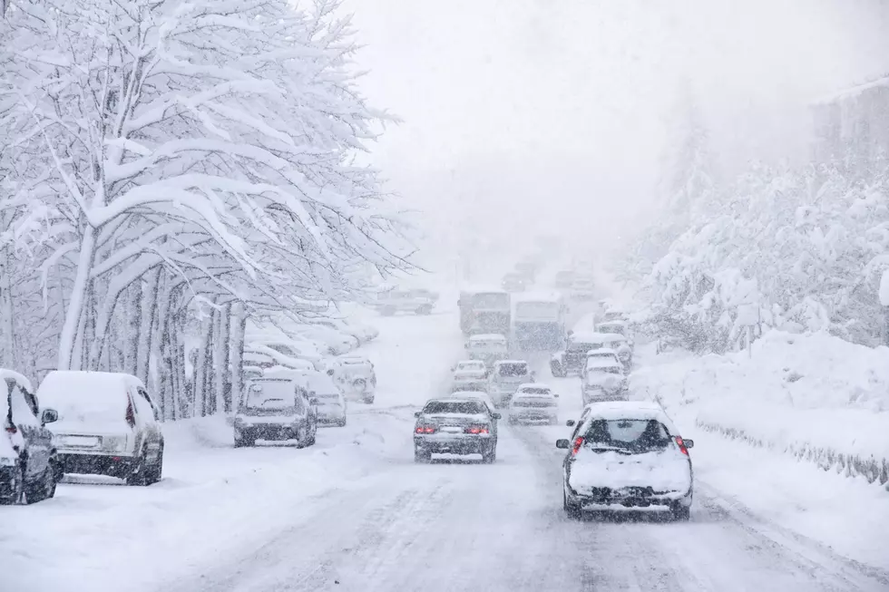
We're going to have a wet weekend, there's no doubt about that. Just what type of wet will it be? As Terry Swails said, "Stay tuned, whatever happens, this is going to be one of the strongest storms of the winter."
Spring starts in 27 days. That's what the calendar says and I sure hope Mother Nature is ready to deliver it on time.

More From 98.1 KHAK