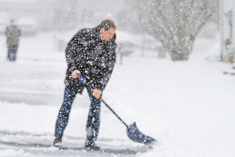
Winter Storm Will Dump Heavy Wet Snow on Eastern Iowa
If you're like me, you've been getting used to days with high temperatures in the mid-40s. Heck, I didn't even wear a coat over my sweatshirt to work today! Most Eastern Iowans are ready for Spring. And while the change in seasons is only a couple of weeks away, mother nature is about to remind us all that the month of March can still bring plenty of snow!
First, the good news. Our weather partners at KCRG TV-9 report that today looks cloudy but quiet. Most of the precipitation will hold off until late tomorrow into Friday morning. An isolated snow shower can't be ruled out overnight tonight. But the real threat of winter weather is for Thursday. KCRG reports that a Winter Storm Watch is already in effect for counties along and north of Highway 20 plus Benton, Linn, Jones, and Jackson counties.
KCRG reports that Thursday night through Friday morning looks like the period most likely for some bands of moderate to heavy snow to Eastern Iowa. And this won't be the light and fluffy stuff either. It will be heavy and wet and hard to move around. As of right now the heaviest bands of snow appear to be near Highway 20 and areas to the north. But March snow storms can change quickly and snowfall totals could change.
Once the storm moves through, Friday will be windy and colder with highs in the 30s according to KCRG. Saturday will be a cold day for the SAPADAPASO Parade in downtown Cedar Rapids with windchills in the 20s. Just another reminder that Spring isn't here...yet.

Coldest Morning in Cedar Rapids History
Gallery Credit: Julie James
The ABCs of Iowa
Gallery Credit: Courtlin
More From 98.1 KHAK


![Restaurants With 2026 Easter Brunch in the Corridor & Cedar Valley [LIST]](http://townsquare.media/site/675/files/2026/03/attachment-erika-fletcher-qukkhmldpjq-unsplash.jpg?w=980&q=75)
![How Many Vinyl Record Stores Are There in Eastern Iowa? [LIST]](http://townsquare.media/site/675/files/2026/03/attachment-vinyl.jpg?w=980&q=75)
![2026 Egg Hunts & Easter Events in Eastern Iowa [LIST]](http://townsquare.media/site/675/files/2026/03/attachment-gabe-pierce-2w46lv6eyt4-unsplash.jpg?w=980&q=75)
![New Bars & Restaurants That Have Opened in Eastern Iowa in 2026 [GALLERY]](http://townsquare.media/site/675/files/2026/01/attachment-img_5492.jpeg?w=980&q=75)
![10 Spring Craft/Vendor Markets in Eastern Iowa You Don’t Want to Miss [LIST]](http://townsquare.media/site/675/files/2026/03/attachment-beaux.jpg?w=980&q=75)

