
Severe Thunderstorms Expected Across Eastern Iowa On Saturday
Spring officially arrived last week and that also means it's very much severe weather season in Iowa. Saturday, we could see severe weather across the listening area.
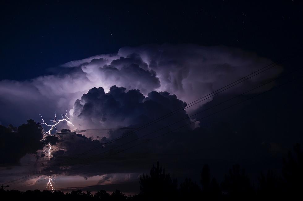
Before we get to Saturday, there could be a few strong storms across southern Iowa this afternoon and evening. The threat, along and south of Interstate 80, is for dangerous lightning and large hail.
As you can see below, the National Weather Service in the Quad Cities says the highest likelihood of severe weather will be throughout the afternoon Saturday, into the early evening. However, isolated severe storms are also possible Saturday morning. The NWS says "severe thunderstorms are expected Saturday across eastern Iowa, northwest Ilinois, and far northeast Missouri."
Fast-moving storms not only can get on us unexpectedly, they often contain strong straight-line winds. As a result, causing damaging winds, along with large hail, are Saturday's largest threats. Isolated tornadoes and frequent lightning will also be possible.
Sunday will be a more calm day, except for the winds. Those could gust to 50 miles-per-hour throughout the day.

More From 98.1 KHAK


![National Weather Service Confirms 26 Iowa Tornadoes on Wednesday [PHOTOS/VIDEO]](http://townsquare.media/site/675/files/2021/07/attachment-Iowa-tornado-%252540clarencewlsmith-Twitter.jpg?w=980&q=75)
