As Drought Worsens, Heavy Rain is Possible Today in Iowa
R-A-I-N. That four-letter word hasn't been used much this summer, but we may get some well overdue precipitation today. The National Weather Service in Des Moines says:
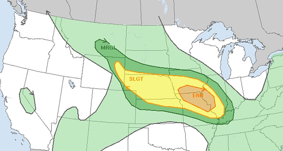
Severe weather potential ramps up by later this afternoon and evening with large hail, strong winds, and a few tornadoes possible! Heavy rain may lead to a threat of flash floods in parts of southern Iowa.
We could do without the potential for severe weather, but we badly need the rain. So far in July, Cedar Rapids has only recorded a ‘Trace’ of rainfall, while Waterloo has only seen .11” this month. (and only .87” for the entire month of June in Waterloo)
The record precipitation for July 9 in Waterloo is 2.86" in 1951. On July 9, 2020, Waterloo received the second-most rainfall ever for that date with 2.19".
Forecast Precipitation through 1 AM Saturday, July 10:
Friday's Severe Weather Outlook for Iowa:
There's also a chance of Severe Wind on Friday with the incoming storm system:
The U.S. Drought Monitor is updated each Thursday to show the location and intensity of drought across the country. Currently in Iowa, the state is 82.9% ‘Abnormally Dry’ (including the Cedar Rapids area) with nearly 38% in a ‘Severe Drought.’ 70% of Black Hawk County is in the ‘Severe Drought’ range.
29 states are experiencing Moderate Drought or worse this week.
According to the Iowa DNR, Iowa saw just 3.31 inches of rain in June - almost 2 inches less than normal.
LOOK: Here is the richest town in each state
Gallery Credit: Meagan Drillinger
LOOK: Famous Historic Homes in Every State
More From 98.1 KHAK


