NOAA: Above-Average Precipitation Likely in Iowa This Winter
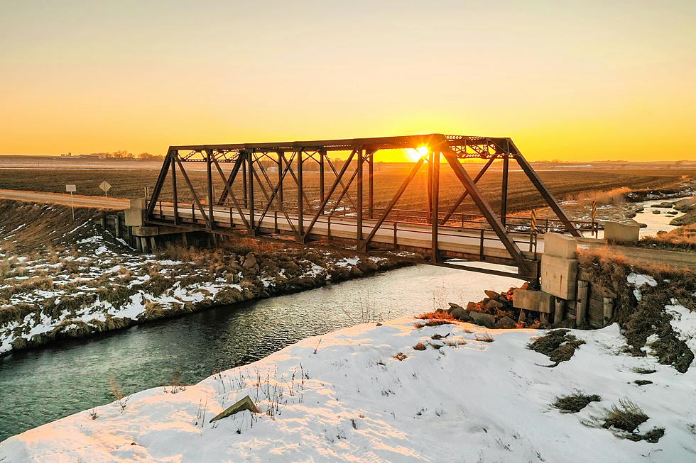
If you like scenes like the above, this story is going to make you very happy. The National Oceanic and Atmospheric Administration (NOAA) Climate Prediction Center has released its three-month weather outlook and it's a wet one across the entire upper Midwest.
NOAA's outlook for December, January, and February show the parts of the U.S. that are typically most impacted by winter weather are expected to see above-average precipitation. The darker the green in the image below, the higher the likelihood of above-normal precipitation. As you can see, all of Iowa has a better than average chance of being snowier than normal, with the greatest likelihood in northern Iowa.

So does that mean temperatures will be below normal? Not necessarily. According to Mike Halpert, the deputy director of NOAA's Climate Prediction Center,
Without either El Nino or La Nina conditions, short-term climate patterns like the Arctic Oscillation will drive winter weather and could result in large swings in temperature and precipitation.
That pretty much means prepare for a roller coaster of temperatures this winter... definitely something we're accustomed to.
So there you have it. A wet winter in Iowa with large swings in temps. Joyous. Add that to the Farmer's Almanac's prediction of a frigid and snowy winter and the Old Farmer's Almanac projecting below normal temperatures and above-average snowfall and I've got only one thing to say... spring can't come soon enough.

More From 98.1 KHAK